- Home
- The Cassini Map: a Cartographic Treasure Added To The Library’s Collections
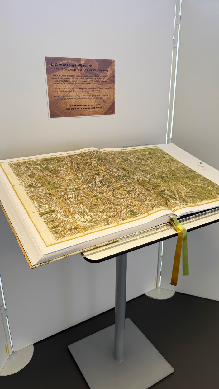
The Cassini Map: a cartographic treasure added to the Library’s collections
The Library of École Polytechnique is pleased to announce the addition of a major cartographic work to its collections: the Cassini Map.
Produced in the 18th century by successive generations of the Cassini family, this map was the first to provide a complete and uniform topographical survey of France. It consists of 181 engraved sheets, enhanced with watercolor, and remarkable for the level of precision they achieved for the time.
The edition now held by the Library, published by C | Éditions, reproduces the entire map at its original scale. Limited to 250 copies, this impressive volume weighs 24 kilograms and is a rare example of editorial craftsmanship.
Acquired by the Humanities and Social Sciences section, the work has joined the Library’s contemporary collections, highlighting the depth of both scientific and historical heritage preserved at École Polytechnique.
The map is available for consultation at the Library’s front desk.
We kindly ask visitors to handle it with care.